

SURVEY SUPPORT
At Mapping NI, we provide precise, professional expert land surveying services to support architects, construction, engineering, infrastructure, property development projects and local authorities across Northern Ireland. Using advanced surveying technologies, our surveys deliver highly accurate geospatial data, ensuring precise site planning and project feasibility studies. From topographical mapping to drone surveys, we deliver tailored solutions to meet the needs of your project and image data for use in various applications and sectors.
Our Services
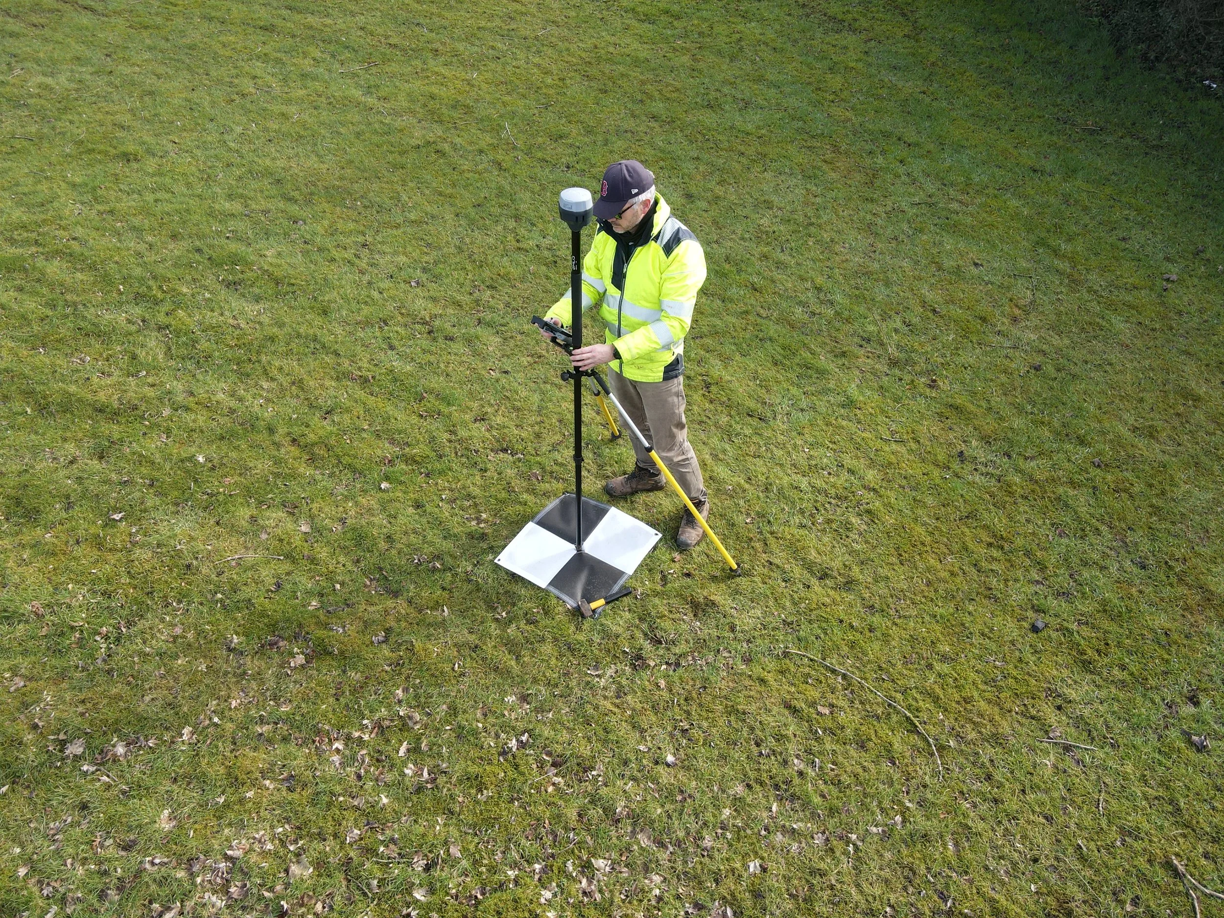
Mapping NI use the latest in RTK GNSS technology to provide accurate data at competitive rates, safely and quickly in a format to suit our clients.
-
Setting Out Services for Construction & Engineering
At Mapping NI, we specialise in providing setting out services.
Equipped with high-end survey equipment and advanced processing software we can deliver efficient working practices and accurate results for:
Control points and benchmarks
Grid lines and datums
Piles and foundations
Brickwork
Concrete and steel structures and more
-
Surveying Services for Construction & Architecture
At Mapping NI, we offer a range of surveying services tailored to the needs of construction, engineering, and architectural projects.
Our Services:
From as-built surveys to aerial drone surveys, experienced survey engineers bring in-depth industry knowledge and expertise to every project, ensuring accurate and reliable results:
Level and volume surveys
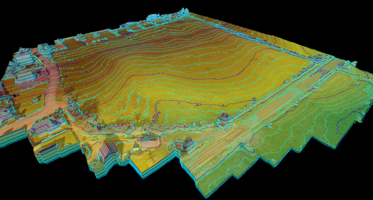
Topographic surveys
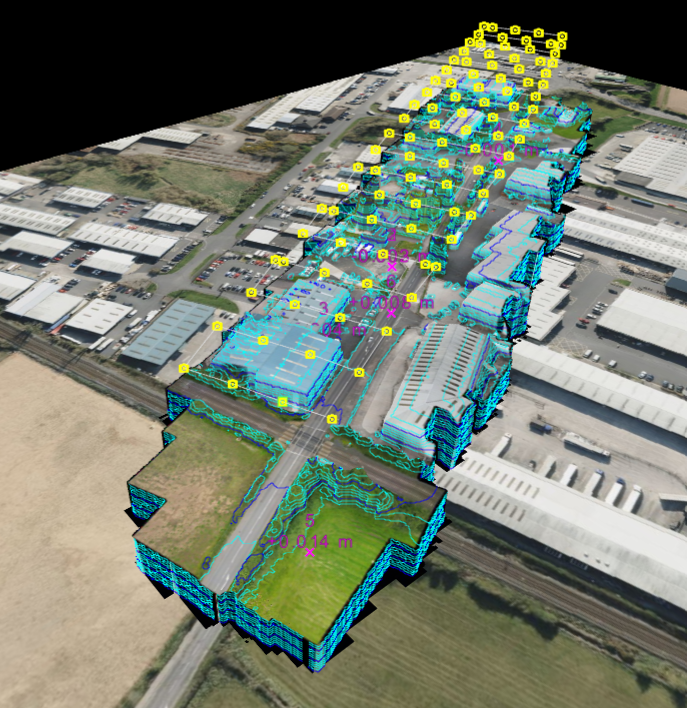
Aerial photogrammetry drone surveys
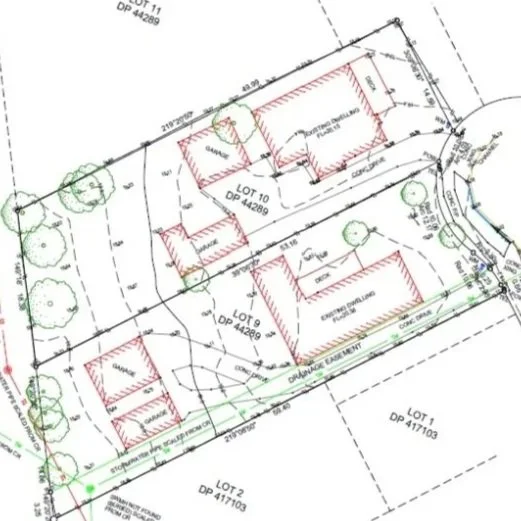
Boundary surveys
Water course surveys
Stockpile surveys
Drone roof surveys
Deliverables:
Our surveys can be issued in a variety of formats including PDFs and CAD drawings in both 3D and 2D. DXF, DWG and LandXML are some of the formats we present.

About our company
Operating from Co. Antrim, we continue to invest in the latest training and diverse hardware and software solutions to adapt and remain agile within this progressive and evolving industry. Mapping NI can supply survey data in a variety of formats including CAD and 3D models that suit both engineers and surveyors. We also provide a setting out service covering GCPs, ground-works and all aspects of the sub and superstructure build.
Safety is paramount to us and we hold all the required CAA and HSE compliance certification and accreditation including all relevant insurances.
Our expert team is dedicated to providing reliable resources that empower informed decision-making for professionals. Give us a call and see what we can do for you.
Follow Us
⦁
Follow Us
⦁
Follow Us ⦁ Follow Us ⦁
Contact Us
Interested in working together? Fill out some details and we will be in touch shortly. We can’t wait to hear from you!